
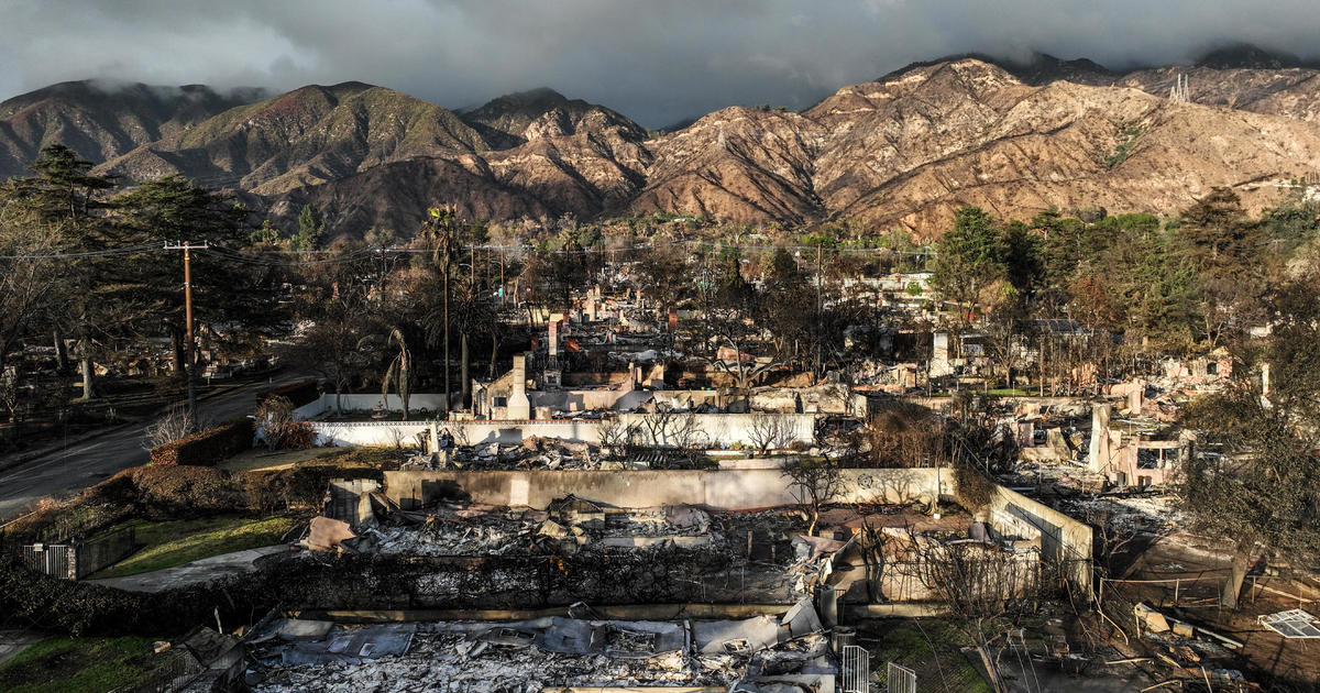
With more rain expected in Los Angeles County, residents near the Eaton Fire are preparing for potential debris flows.
People like Geoff Frank placed barriers along their homes to reroute any flood water or mud that may come barreling toward his home.
Frank lives in the Pasadena Glen neighborhood, one of a handful of communities facing the highest risk of debris flows during this upcoming storm.
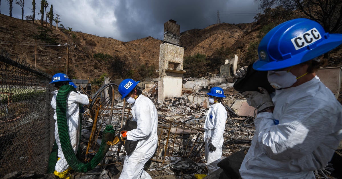
A geological survey from the California Department of Conservation found that neighborhoods in Pasadena, Altadena and Sierra Madre are particularly vulnerable to heavy debris flows because of the Eaton Fire.
“The Eaton Fire has a high likelihood of generating large magnitude postfire flood and debris flow events,” officials wrote in the report.
The report outlined the Kinneloa Mesa Section of Pasadena, East Loma Alta Drive in Altadena and Sierra Madre Canyon as particularly vulnerable to heavy debris flows.
“That’s what actually prompted me to buy these because I was not really worried about that,” Frank said. “That report kind of pointed out that the most dangerous area in Pasadena Glen was the lower glen.”
In its report, the Department of Conservation mentioned floods in the same area as the Eaton Fire killed dozens in 1938 and 1969. In 1938, the floods killed 87 people and caused roughly $1.5 billion of damage, when accounting for inflation. The 1969 flood was slightly less severe, killing 60 people in Southern California. However, it caused significantly more damage, totaling about $3.4 billion when accounting for inflation.


Leave a Reply