
CNN
—
Winter storms are about to blitz through the eastern half of the United States at a frenetic pace that could continue for a couple of weeks.
The jet stream, essentially a river of air in the atmosphere that storms flow through, is locked in an almost perfect line from west to east, and will funnel storms across the northern tier of the Lower 48.
New storms will arrive every few days until the jet stream shifts — something that might not happen until the second half of February.
The first storm will form Wednesday afternoon over the central Mississippi Valley and ultimately spread wintry precipitation over more than 1,000 miles of the eastern US from Missouri to Maine. It will strengthen and hit its stride overnight Wednesday as it unleashes a messy mix of sleet, freezing rain, snow and rain across the Midwest and into parts of the Northeast through Thursday.
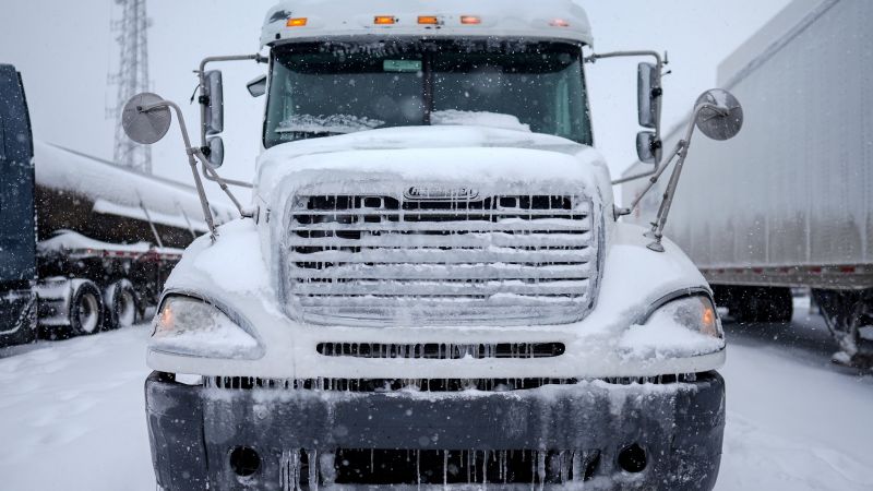
Hazardous ice capable of knocking out power and turning roads to skating rinks will be this storm’s main threat. It’s being brought about by a clash of cold air with the same unseasonably warm air that has sent temperatures soaring in the South.
An area stretching from Missouri to southern New England will end up with at least a light, but still treacherous, glaze of ice from Wednesday through Thursday.
The greatest chance for at least 0.10 inches of ice will stretch from northern Indiana and Ohio into central Pennsylvania and the mountainous terrain of Maryland, West Virginia and Virginia.
More than 0.25 inches of ice could accumulate in a few locations — especially in central and southern Pennsylvania and western Maryland. This amount can weigh down trees and power lines — causing power outages — and make travel dangerous to borderline impossible.
This will not be a big snowmaker, aside from in the northern Great Lakes. Instead, many locations will see a messy mix of nearly every precipitation type: sleet, freezing rain, snow and rain.
Precipitation could briefly start as a mix of sleet and freezing rain in Chicago Wednesday evening before changing mainly to freezing rain overnight. Some freezing rain or drizzle will linger overnight before gradually coming to an end by sunrise Thursday.
Cleveland will likely experience freezing rain overnight Wednesday with some sleet possibly mixed in to start. Precipitation could end as rain Thursday morning as temperatures climb above freezing.
The icy mix will reach parts of the Appalachians in the earliest hours of Thursday morning and expand to cover much of the Northeast throughout the day.
There will even be a mix in Pennsylvania, which will bear the brunt of the storm’s ice. Sleet and freezing rain is possible over most of the state Thursday morning with the highest concentration of freezing rain likely in central and southern portions.
Warmer air will rush in behind the storm Thursday and help melt away some of the mess. But it won’t be long until cold creeps back in and another storm arrives with an intense sense of déjà vu.
The next storm will likely develop in the Plains late Friday and strengthen early Saturday. Saturday into Sunday it will quickly spread a mix of snow, sleet, freezing rain and rain across an area nearly identical to this week’s first storm.
The storm’s exact timing, type and amount of precipitation are still coming into focus, but another bout of disruptive icing is possible for the Midwest and Northeast. Some areas will only have a little over 24 hours between when impacts from the first storm end and troubles from the second one begin.
Additional storms are possible next week for the eastern half of the country as the active pattern continues. Forecast models are hinting at another wide-reaching storm next Tuesday and Wednesday, and yet another storm around the middle of the month.


Leave a Reply