Forecasters released a breakdown Tuesday of where and when heavy rainfall this week is expected to hit areas of Southern California left burn-scarred by recent wildfires, raising the risk of potentially dangerous debris flows in those parts of the region.
Debris flows and mudslides are most common during a period of intense rain following wildfires, the rain potentially destabilizing the terrain that was scorched barren and carrying land, mud and even sometimes larger objects like boulders, according to the National Weather Service. Areas of Los Angeles County left burn-scarred by the deadly Palisades and Eaton fires last month are among the areas where forecasters are warning of possible flooding and debris flows triggered by rainfall this week.
Those burn scars, along with parts of the region burned by the Franklin Fire in the Malibu area and the Bridge Fire in the Angeles National Forest last year, are the areas at greatest risk of seeing debris flows, forecasters say.
Here is the breakdown National Weather Service Los Angeles has given for where and when is expected to hit burn scar areas.
- Lake Fire: The area left burned by the 38,000-acre wildfire that broke out in a northern area of Santa Barbara County last July is one of the parts of the region expected to see heavy rainfall this week. A flood watch is in effect between 10 a.m. Thursday until 12 a.m. Friday.
- Palisades, Eaton, Franklin and Bridge Fires: All these wildfires burned through areas of Los Angeles County between last summer through January this year, with the Bridge Fire burning in neighboring San Bernardino County. A flood watch is in effect for all these burn scar areas from 1 p.m. Thursday until 4 a.m. Friday.
“Given the elevated chances for significant debris flows, consisting of raging torrents of rockslides and mudslides that can be damaging and even deadly, now is the time to start getting prepared for these potentially dangerous conditions,” National Weather Service Los Angeles Meteorologist Ariel Cohen said Tuesday, predicting a 50 to 70 percent chance of such “significant” debris flows.
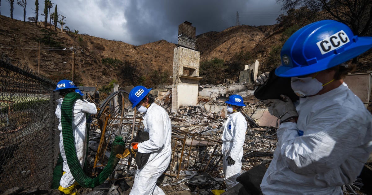
Emergency preparations have been underway, including the placement of more than 7,500 feet of concrete barriers and 6,500 sandbags in the Palisades Fire area alone. Meanwhile, state officials have been carrying out cleanup efforts, which include clearing out debris that heavy rain can carry and taking other measures to lower the risk of mudslides and debris flows, over the last month.
A flash flood watch is also in effect for other parts of Southern California including Orange County and Riverside County, where emergency officials met with firefighters and law enforcement in Lake Elsinore to discuss storm preparations, including those bracing for the possibility of mud and debris flow in recent burn areas, according to the county’s Emergency Management Department.